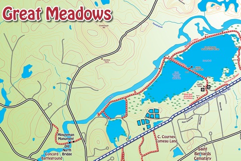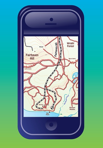
YouHike - Walden Woods is an app that provides zoomable trail maps of the most popular hiking trails in the Walden Pond, Minuteman Trail areas of Lincoln And Concord, Ma.
YouHike - Walden Woods will show your location even if you are out of cell phone range. All maps are included so you are not bandwidth dependent for any data.
YouHike Walden-Woods offers 20 zoomable interactive trail maps of the conservation land around Walden Pond and Walden Woods in Lincoln and Concord, Massachusetts.
With YouHike Walden-Woods you can:
* zoom in to present more detailed information.
* keep track of your location, even if you are out of cell phone range.
* record information about Points of Interest (POIs) you find along your hike. You can save and export your POI information as a text file, or send your POIs to other YouHike users.
* customize your location and POI graphics with over 100 internal icons.
* download more icons from the youhikeapps.com website, or create and import your own icons.
* track your daily hike miles, save and email your stats.
* import your photos from your devices photolibrary and have them appear on-screen in the map location they were taken.
* send your location to other YouHike users.
* use iCloud to sync your POI data between your iPhone and iPad.
YouHike Walden-Woods covers over 30 miles of hiking and biking trails in Lincoln and Concord, including:
Adams Woods, Battle Road, Bear Garden Hill, Beaver Pond, Codman Woods, Farrar Pond, Flints Pond, Great Meadows, Hapgood-Wright Forest, Hartwell Town Forest, Minuteman Trail, Mount Misery mill site, Pidgeon Hill, Pine Hill, Reformatory Branch Trail, Walden-Pond, Wheeler Farm & Wright Forest.
**Continued use of GPS running in the background can dramatically decrease battery life.


